Startseite » English » Anguilla »
ShakeMap (Calculated intensity of the earthquake in Anguilla, Puerto Rico, Dominica, Antigua and Barbuda:
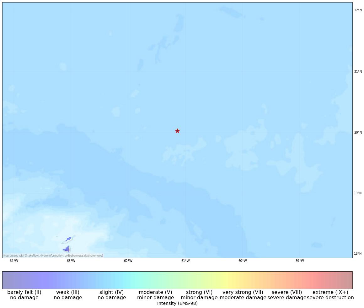
View earthquake, ShakeMap and historical seismicity on interactive map
Earthquake summary
Strong earthquake of M6.2 hit the islands in northeast of the Caribbean. According to GFZ, the earthquake occurred at a depth of 10km, and the epicentre was in North Atlantic 250 Km north of the island state of Antigua and Barbuda. The region experienced widespread tremors, including weak ones in Puerto Rico, Dominika, and high-rise buildings in Santo Domingo (Dominican Republic). The closest islands, like Antigua, were primarily affected by significant tremors. However, as the epicenter was far from the coast, no major damage is expected from the earthquake, and there is no risk of a tsunami.
There is a small subduction zone to the eastern coast of the Caribbean arc, where the North American Plate is subducted beneath the Caribbean Plate. This earthquake occurred in close proximity to this subduction zone, resulting in its shallow depth. Notably, earthquakes of this magnitude are not common in the region, with only one comparable event of 6.7 magnitude recorded in the USGS catalogue in 2003. Seismic activity is slightly elevated directly along the subduction zone, reaching a magnitude of 7.5 in 1974. Historical data indicates the potential for even larger earthquakes of magnitude 8 in the region.
[irp]
Affected places
| City | Country | Intensity (EMS-98) | Population | Distance epicenter (km) | Description |
|---|---|---|---|---|---|
| Island Harbour | AI | 3.3 | 0 | 278.0 | weak |
| North Side | AI | 3.1 | 0 | 282.6 | weak |
| Stoney Ground | AI | 3.1 | 0 | 283.4 | weak |
| North Hill Village | AI | 3.0 | 0 | 287.0 | weak |
| Cul de Sac | SX | 2.9 | 8500 | 298.6 | barely felt |
| Marigot | MF | 2.9 | 5700 | 298.3 | barely felt |
| Koolbaai | SX | 2.9 | 6000 | 300.6 | barely felt |
| Lower Prince’s Quarter | SX | 0.0 | 8000 | 296.6 | not felt |
| The Valley | AI | 0.0 | 2000 | 284.6 | not felt |
| Philipsburg | SX | 0.0 | 1400 | 299.1 | not felt |
Current earthquake activity near Island Harbour:
In Island Harbour (map) 154 earthquakes larger than 4.3 were detected over the past 30 days. Therefore, the earthquake activity over the past month was much higher than usual (more than 20 % difference).
Summary of earthquake data:
FAQ: What are earthquakes? Which earthquakes are dangerous? How can you protect your famility and property?
What are faults and plates? Important terms explained.
General information about this earthquake:
Time: 2023-07-10 20:28 UTC
Magnitude: 6.2
Depth: 10 km
Felt: yes
Damage expected: --
Fatalities expected: --
Origin: tectonic
Tsunami: --
Links to all earthquake surveys in the world
Check out our Earthquake Impact Database to get all data for recent damaging earthquakes.
Earthquake data: GFZ
Statistic:
Since 1960 309 earthquakes larger than Magnitude 4.0 were detected in this region. The average number of earthquakes in this part of Anguilla, St. Martin (NL), Saint Martin (FR) (near Island Harbour) is 5.17 quakes larger than 4.0 per year. Therefore, the seismicity is usually high and quakes of magnitude 6.2 have a recurrence period of approx. 30.7 years (368 months).
Strongest earthquakes in this area
| Date | Magnitude | Depth (km) |
|---|---|---|
| 2003-05-14 06:03 | 6.7 | 42 |
| 2023-07-10 20:28 | 6.6 | 10 |
| 2016-03-19 11:26 | 6.0 | 26 |
| 1971-04-30 08:23 | 5.8 | 18 |
| 2011-12-03 09:27 | 5.6 | 10 |
| 2006-03-02 23:35 | 5.6 | 25 |
| 1988-02-09 19:12 | 5.5 | 53 |
| 1997-03-17 05:20 | 5.5 | 33 |
| 2021-01-24 23:21 | 5.4 | 94 |
| 1988-02-09 02:22 | 5.4 | 50 |
*Data: USGS-Catalog (since 1960)